AI Fluid Dynamics

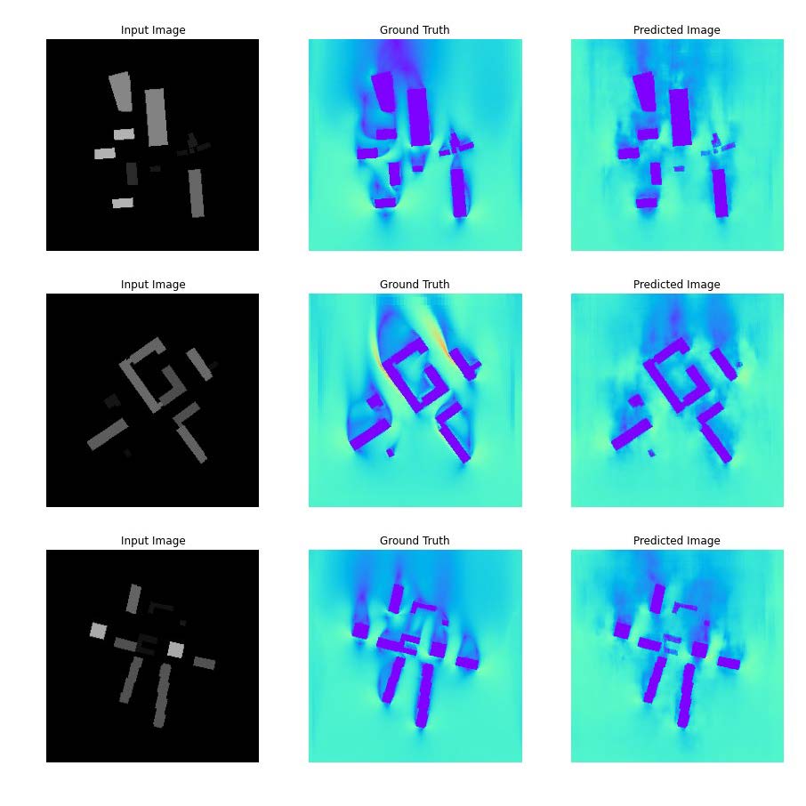
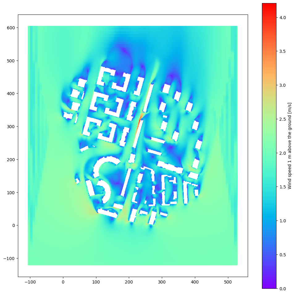
The aim of the project was to propose a digital workflow which would allow for replacing a CFD simulation with prediction in design and planning applications for the urban environment, focusing on pedestrian-level windspeed analysis. Increasing the accessibility of environmental analyses by switching from computation-heavy simulations to ML prediction has the potential to promote evidence-based design and help mitigate the effects of climate change on cities through enhanced natural ventilation, creating more resilient, livable and friendly spaces while limiting the energy demand for mechanical cooling.
The project is intended to serve as a proof of concept and a stepping stone towards a solution closer to industry standards and with a wider range of possible uses.
The outcome was limited by computational power needed to produce a dataset based on CFD simulations in an urban scale. The results quality was heavily influenced by the extremely small size of the dataset (n=37). It was augmented for training by mirroring the images alongside an axis parallel to the wind direction.
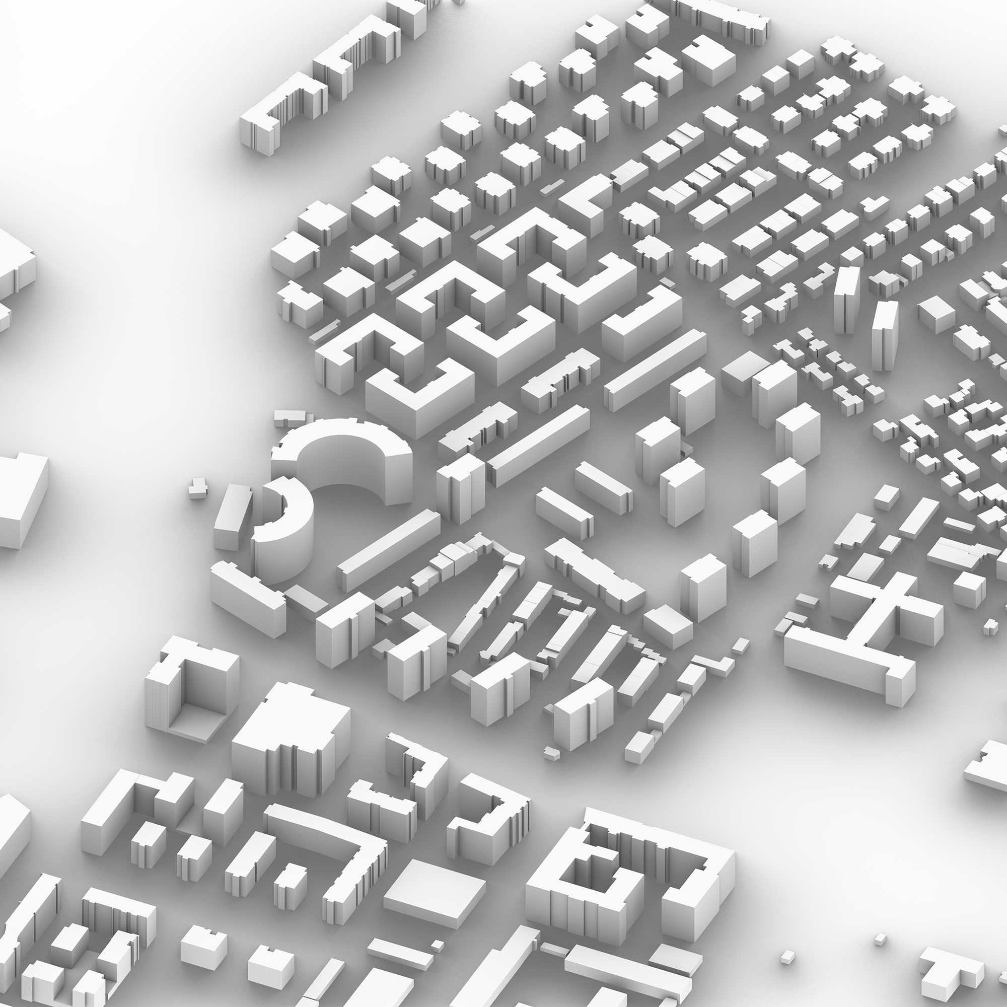
The project was developed using predominantly free software (OpenFOAM, Python + libraries) and a segmented model of the city of Warsaw, PL sourced from a government database.
2022
Software: Rhinoceros3d, Grasshopper, Butterfly, OpenFOAM, Python, tensorflow, pandas, matplotlib, pillow.

